Photographs of the existing state of maritime infrastructure facilities, control photographs
Based on the Act on Hydrographic Activities, Art. 11a (LINK), the concessionaire, i.e. the manager of maritime
infrastructure buildings (ports, various liner facilities on the seabed, etc.), must take into account:
- that the building is properly recorded in the official maritime publications of
the Croatian Hydrographic Institute (nautical charts),
- if it is a port, to make an official chirographic survey once every five years,
- that the building/installation is in operation (that it is not damaged, moved, in contact with other objects, etc.)
In order to satisfy this, it is necessary to carry out a hydrographic survey of the port area, that is,
of the route strip with the detection of the existing installation (water pipes, gas pipes,
oil pipelines, optical communication cables, power cables). In addition to detecting the location
of the installation, as part of the regular inspection of this infrastructure, it is also necessary
to carry out a visual inspection, which is usually done with a remotely operated
diver (Remote Operated Vehicle; ROV). The ROV we use for these purposes is also equipped with an
underwater positioning system (Ultra Short Base Line; USBL), so that each video sequence
is georeferenced, i.e. each frame has associated spatial coordinates in the national coordinate system.
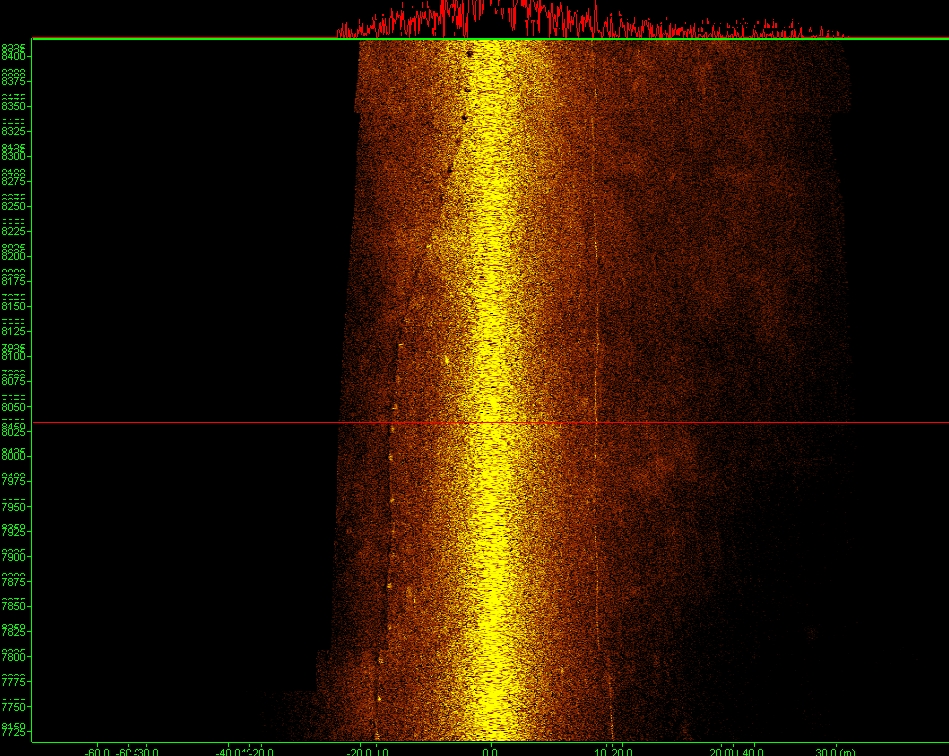 Snapshot of the existing state of the submarine water supply and power cable - detection with a
multi-beam depth gauge ("snippets" data registration mode)
Snapshot of the existing state of the submarine water supply and power cable - detection with a
multi-beam depth gauge ("snippets" data registration mode)
 Sequence of video recordings of the ROV during the control recording and recording of the underwater sewage outlet