Hydrographic images of the zero (initial) state of the underwater construction site
Before starting the construction of any major subsea construction site, it is important to take a
zero-state survey to precisely define the terrain before any excavation or construction activity.
This is important for very simple reasons: the recordings from the project documentation are often
inadequate or outdated, so it is difficult for the contractor to prove the quantities of excavation
and embankment later. Also, the creation of detailed implementation projects that are done immediately
before implementation will be based on current, real and precise data. By recording the zero state of the
seabed with a high-resolution multi-beam depth gauge and creating a precise 3D model of the sea or river bottom,
these problems were solved and all participants (investor, designer,
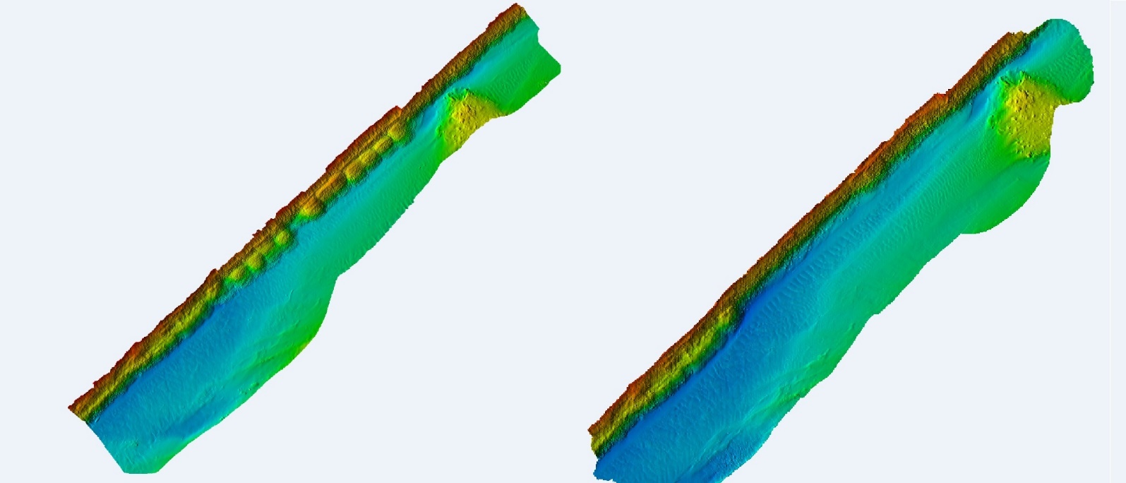 3D model of the bed (right bank) of the Neretva River after and before the embankment works
 3D models of the seabed before and after dredging works (Bršica, Raša Bay)